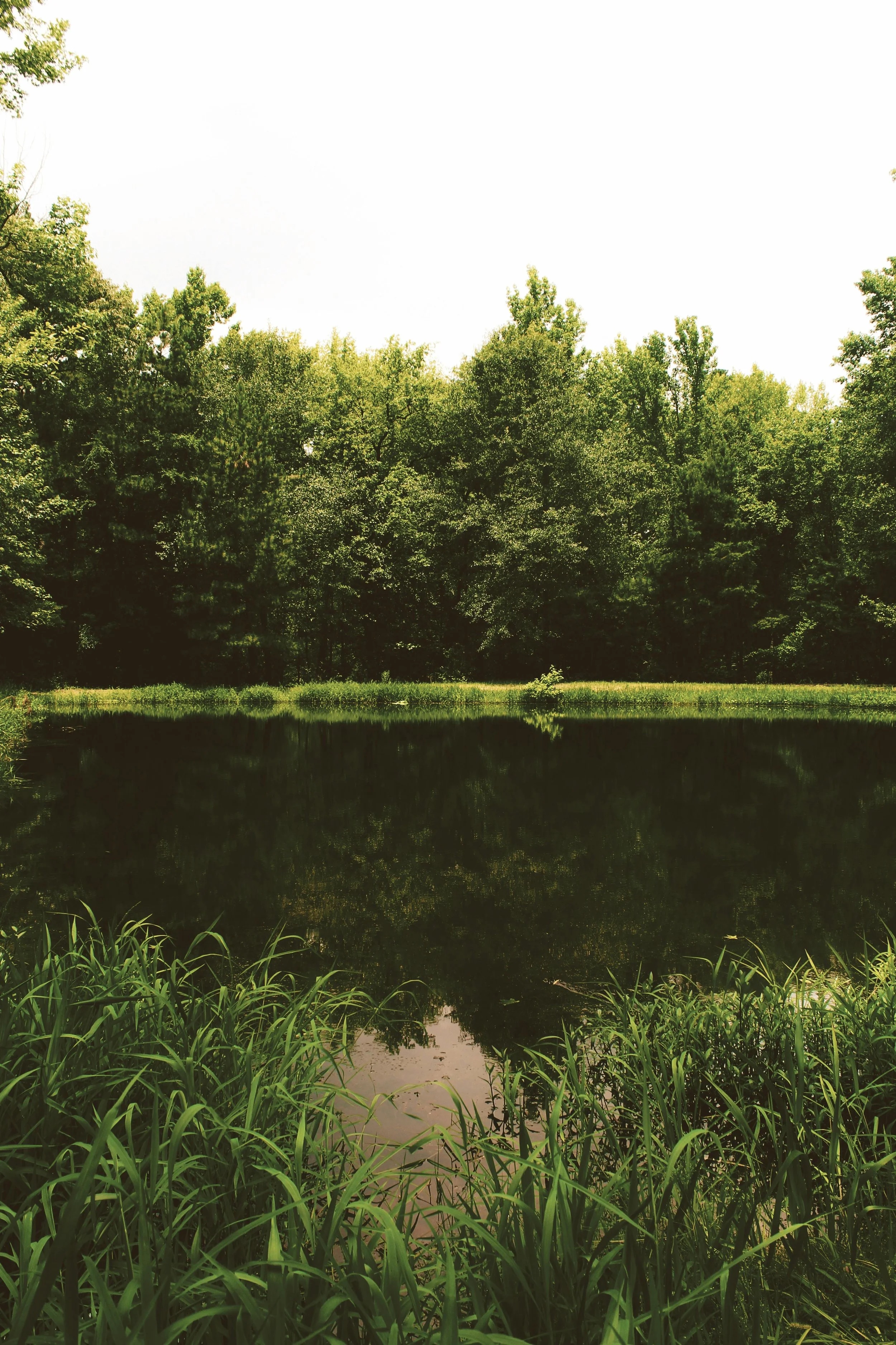
The grass is cut, the pond fountain is running, and the shoreline looks clean. Then heavy rain arrives, the same intersection floods, water backs into rear yards, or a familiar slope washes out again.
For community associations and property managers, these conditions raise a practical question: If the pond is being maintained, why are drainage problems continuing? The answer often lies beyond the pond’s appearance, somewhere along the route water takes through the property.
A stormwater system assessment evaluates how runoff moves through connected drainage infrastructure, where function may be restricted, and what investigation or corrective work is appropriate. It connects visible symptoms with upstream conditions, conveyance routes, storage facilities, and downstream discharge limitations rather than treating each problem as an isolated maintenance task.
At Ecological Improvements, we help communities and property owners connect stormwater assessment with practical maintenance, erosion repair, restoration, and ongoing oversight. Understanding the entire system provides a stronger basis for protecting property, managing maintenance budgets, and improving the quality of water leaving the site.

Why Stormwater Performance Depends on More Than the Pond
A stormwater pond is one component in a connected drainage network. Its appearance cannot confirm whether runoff reaches it efficiently, whether its storage remains available, or whether water can discharge as intended.
A useful assessment follows water from the contributing drainage area through collection points, conveyances, storage, and the receiving system. Restrictions at any of these stages can influence conditions elsewhere, including areas located well away from the pond.
Follow the complete drainage path
Rain falling on roofs, roads, parking areas, and landscaped ground follows routes shaped by surface elevations and drainage infrastructure. Depending on the property, that route may include yard drains, catch basins, underground pipes, roadside swales, culverts, pond inlets, outlet structures, and downstream channels.
These components perform different jobs within the same system. An inlet collects runoff, a pipe or swale conveys it, a pond stores or treats it, and an outlet controls its release.
When one connection stops functioning as intended, maintaining the remaining components may not resolve the resulting problem. A pond can have available storage while runoff floods a street because a blocked inlet or restricted connecting pipe prevents water from reaching it.
The reverse can also occur: runoff reaches the pond, but discharge is limited by an obstructed control structure or elevated downstream water. Understanding these relationships helps explain why a repair at the most visible location may not address the actual cause.
Separate visual maintenance from hydraulic function
Mowing, litter removal, and appropriate vegetation management support access and upkeep, but they do not establish drainage performance. A fountain operating in the pond does not demonstrate that the inlet pipes are clear, the outlet is functioning, or the required storage volume is available.
A wet pond typically maintains a permanent pool, with additional storage above that level used during storms. Evaluating available storage requires reference to intended elevations and current conditions; the amount of visible open water alone does not answer the question.
A dry detention facility operates differently and may be intended to drain between storms. Standing water therefore needs to be interpreted against the facility’s design, approved maintenance requirements, groundwater conditions, and recent rainfall rather than a universal drainage deadline.
EPA’s wet pond guidance identifies outlet clogging, erosion, debris, and other functional conditions as inspection concerns. These are reasons to connect routine pond care with a broader stormwater inspection program instead of relying on appearance as the primary measure of performance. [1]

Understand upstream changes and downstream controls
Drainage conditions can change even when the pond itself has not been modified. Added pavement, soil compaction, altered landscaping, construction sediment, or a regraded lot may change how much runoff reaches a collection point or how quickly it arrives.
Downstream conditions matter as well. Water standing high in a receiving ditch, channel, tidal creek, or connected drainage system can reduce the hydraulic gradient available for discharge, creating a backwater influence that extends upstream.
An outlet being submerged does not, by itself, prove that the system has failed. The important questions are whether that condition was anticipated in the design and how it affects water levels and drainage duration during the event being evaluated.
These interactions make stormwater management a property and watershed issue. The appropriate investigation may need to extend beyond the association’s pond while respecting ownership boundaries and access permissions.
Use maintenance history as evidence
Repeated work in the same location is useful information. A bank that erodes after every repair, an inlet that repeatedly fills with sediment, or a pipe that requires frequent cleaning may indicate a continuing source or unresolved system condition.
Records of stormwater pond inspections, outfall maintenance, and shoreline stabilization help establish that history. Comparing those records with current field observations can reveal whether work restored function temporarily, whether the underlying condition changed, or whether a different investigation is needed.
For boards and property managers, this shifts the conversation from whether the pond looks maintained to whether the connected system performs as intended. That is a more useful starting point for deciding where to invest the next maintenance dollar.
Distinguishing Maintenance Problems From Capacity and Structural Limitations
Recurring flooding can result from obstructions, deterioration, altered surface drainage, insufficient capacity, or several conditions acting together. Similar symptoms do not necessarily require similar repairs, so assessment should distinguish observations from confirmed causes.
For example, water collecting near a catch basin might reflect a blocked opening, a restricted downstream pipe, or runoff exceeding the system’s available capacity during that storm. Selecting a solution before resolving that distinction can leave the original problem in place.
Identify where designed function has been lost
Maintenance problems occur when a component can no longer provide its intended function because of an accumulated or correctable condition. Examples include sediment reducing a swale’s flow area, debris restricting an inlet, or vegetation obstructing a drainage opening.
In these cases, properly scoped maintenance may restore performance without changing the original design. The scope still needs to account for access, disposal, equipment limitations, and the possibility that cleaning will reveal damage previously hidden by sediment or water.
Sediment deserves particular attention because it can affect multiple parts of the system. Material eroded from an upstream slope can collect in catch basins, settle in pipes, and accumulate in a pond forebay, creating recurring maintenance needs along the same route.
Connecting forebay restoration and maintenance with upstream erosion control helps address both the accumulated material and its source. Removing sediment repeatedly without investigating its origin can leave an avoidable maintenance cycle unresolved.
Recognize structural defects and changing ground conditions
Some problems involve the physical condition of the infrastructure rather than a removable obstruction. Pipe joint separation, deformation, broken sections, undermined headwalls, and deteriorated structures may require repair or replacement after their extent is established.
New depressions above a drainage alignment warrant attention because they may indicate movement or loss of supporting soil. They are not proof of a particular defect, but they provide a reason to investigate rather than repeatedly adding surface fill.
Assessment should also consider erosion at transitions, including where a pipe discharges onto soil or where a lined channel meets an unprotected area. A repair must account for the forces acting at that location, the condition of adjacent ground, and the stability of the receiving channel.
Shoreline stabilization can be part of the solution, but treating the bank alone may leave concentrated runoff or an unstable discharge condition unchanged. Repair selection should connect the damaged area to the water movement causing or contributing to it.
Determine when capacity requires engineering analysis
A clean, intact system can still experience flooding when runoff exceeds its available capacity. EPA identifies aging infrastructure as a stormwater management challenge and describes how heavier precipitation and added impervious cover can place pressure on existing systems. [2, 3]
Those broader conditions do not diagnose an individual property. Establishing whether a particular system is undersized requires site information, applicable design criteria, rainfall assumptions, and appropriate hydrologic and hydraulic evaluation.
Hydrologic analysis estimates the runoff generated by the drainage area. Hydraulic analysis evaluates how that water moves through pipes, channels, structures, and storage under relevant upstream and downstream conditions.
Cleaning a pipe can restore lost conveyance, but it cannot increase the pipe’s original dimensions. Similarly, installing a larger pipe may produce little improvement if downstream water levels or receiving-system capacity remain the controlling limitation.
Evaluate storm conditions and intended overflow routes
A report that an area floods “whenever it rains” is a starting observation, not an event description. Rainfall intensity, duration, antecedent wetness, and downstream conditions help determine why the system responded as it did.
Two storms with similar total rainfall can produce different peak flows if one delivers that rain much faster. Closely spaced storms may also leave less available storage or infiltration capacity before the next event begins.
Some sites include planned surface routes for flows that exceed the underground system’s capacity. Landscaping, fences, stored materials, or later construction can interrupt those routes, changing where excess water collects.
Assessment should consider both routine drainage and larger-event overflow behavior. Recognizing the system’s intended limits helps a board distinguish a maintenance deficiency from a condition requiring design review, additional storage, runoff reduction, or broader coordination.
What a Useful Stormwater System Assessment Should Include
A useful stormwater system assessment turns a general complaint into a documented condition, a reasonable explanation of what remains uncertain, and a practical next step. Its value comes from connecting records, field observations, and targeted investigation rather than simply producing a list of visible defects.
The appropriate scope depends on the site and the question being asked. An initial assessment may identify accessible maintenance needs, while persistent or complex problems may require surveying, internal pipe inspection, or engineering analysis before a repair can be defined.
Review available records and responsibility boundaries
Start with approved drainage plans, record drawings, previous inspection reports, maintenance logs, repair invoices, and photographs. These materials can help identify intended flow directions, pipe connections, control elevations, access routes, and earlier problem locations.
Plans provide a starting framework, but field conditions may differ because of undocumented repairs, later grading, settlement, or incomplete records. Important assumptions should therefore be verified where practical rather than treated as established facts.
Responsibility also needs clarification. A drainage route may cross association property, individual lots, public rights-of-way, utility corridors, and land controlled by another owner.
Ownership documents, easements, maintenance agreements, and applicable agency records help establish who can authorize access and work. A drainage connection on a plan does not automatically establish that the association controls every component along that route.
Inspect accessible components as a connected system
Field review should connect the reported problem area with accessible upstream and downstream infrastructure. Relevant observations include inlet openings, sediment deposits, visible pipe ends, swale continuity, erosion patterns, pond structures, and discharge conditions.
Photographs should show both the specific condition and its setting. A close image of a damaged outlet is more useful when paired with a wider view showing where water arrives, where it discharges, and how nearby ground is affected.
A repeatable identification system helps preserve these connections. Numbering structures and recording locations allows future inspections, maintenance instructions, and repair records to reference the same assets consistently.
Visual inspection has limits, especially where pipes are buried or structures are submerged. The assessment should state which areas were accessible, what could be observed, and which conclusions require further verification.
Use rainfall observations without creating exposure
Resident photographs and maintenance staff observations can help establish when water first accumulates, where it spreads, and how long it remains. Date, approximate time, photo location, and the direction of the view make these observations easier to interpret.
Useful records can include high-water marks, reports of downstream water levels, and rainfall information from an identified source. A nearby gauge may not represent the exact rainfall at the property, so that limitation should remain clear.
Storm observations should come from safe, accessible locations. Residents and maintenance staff should not enter flowing water, open drainage structures during flooding, or approach unstable banks to obtain better evidence.
Comparing conditions before and after a storm can be valuable even when direct observation during rainfall is impractical. Fresh sediment, debris lines, displaced mulch, and new erosion can help identify pathways that were not obvious during dry weather.
Select investigation tools to answer specific questions
Pipe cleaning, CCTV inspection, surveying, and engineering analysis serve different purposes. The assessment should explain what each proposed task is expected to establish and how its findings will influence the next decision.
CCTV inspection can document visible internal pipe conditions, including obstructions, joint separation, or deformation where access and visibility permit. It does not independently determine the system’s hydraulic capacity, and heavy sediment or standing water may limit what the camera can reveal.
Surveying can establish elevations, slopes, and relationships that cannot be judged reliably by eye. Pond sediment measurements may help evaluate lost storage, while runoff and hydraulic modeling may be necessary to assess capacity or compare improvement alternatives.
Specialized inspections require qualified personnel and appropriate procedures; drainage structures can present confined-space hazards. A practical assessment identifies when to involve licensed engineers, surveyors, or other specialists rather than extending visual observations beyond what they support.
Document findings and unresolved questions
The final record should distinguish confirmed conditions, likely contributing factors, and unverified possibilities. It should also explain whether recommended work restores existing function, investigates a suspected defect, or changes system performance.
This documentation supports a more useful conversation with contractors, engineers, agencies, and residents. It gives each next task a defined purpose and reduces the likelihood that the same uncertainty will return with the next storm.
Turning Assessment Findings Into a Practical Maintenance and Improvement Plan
An assessment becomes useful when its findings guide action. Boards, property managers, municipalities, golf courses, developers, and commercial owners need priorities that reflect observed conditions, likely consequences, responsibility, and the evidence available.
The resulting plan should distinguish work that can be scoped now from decisions that depend on further investigation. It should also connect corrective work with continuing maintenance so that repaired components remain accessible and functional.
Assign priorities based on condition and consequence
Priority should reflect more than the size or visibility of a defect. A small obstruction at a critical outlet may affect a large drainage area, while a larger sediment deposit may have a more limited immediate effect.
Conditions involving unstable ground, compromised structures, or an apparent threat to occupied property may require prompt professional review and appropriate access restrictions. Routine debris removal or vegetation management can follow a different schedule when observations support that approach.
The plan should identify the asset, observed condition, recommended action, responsible party, and next decision point. Where the cause remains uncertain, a defined investigation is more useful than a repair recommendation presented with unsupported confidence.
Inspection frequency should follow applicable requirements, facility characteristics, and documented site needs. EPA’s stormwater maintenance guidance emphasizes defined responsibilities, maintenance schedules, inspection requirements, and funding as elements of an operation and maintenance plan. [4]
Scope repairs around the cause
Corrective work should describe what function it is intended to restore or improve. For an obstructed inlet, that may mean reopening the collection point and addressing the material source; for a damaged discharge area, it may involve correcting the flow transition and stabilizing affected soil.
A scope should also address work limits, access, utilities, sediment handling, vegetation restoration, and follow-up inspection where relevant. Clear boundaries help contractors price comparable work and help owners understand what the proposed expenditure is expected to accomplish.
Before altering grading, channels, pond structures, or discharge arrangements, confirm applicable approvals and professional design needs. Requirements vary with the work, location, ownership, and receiving environment; maintenance terminology alone does not determine whether authorization is required.
For the same reason, pond dredging consultation should connect sediment removal with intended elevations, outlet conditions, disposal considerations, and upstream sediment sources. Removing material without that context may fail to address the condition driving the drainage complaint.
Consider runoff reduction where site conditions support it
Conventional drainage improvements are not the only tools available. Vegetated buffers, bioswales, bioretention, and other green infrastructure can help manage runoff closer to where it falls when selected and designed for the site.
EPA describes green infrastructure as a way to slow or reduce runoff and help mitigate flooding. Its usefulness at a specific property depends on available space, contributing drainage area, soils, groundwater, utilities, overflow routing, and the storm conditions being addressed. [5]
An infiltration practice may be unsuitable where seasonal groundwater is high or soils drain poorly. Other approaches may require an underdrain, controlled storage, or a different location, with performance evaluated against the intended objective.
These features also require inspection and maintenance. A bioswale covered by sediment or a bioretention inlet blocked by debris can lose function just as a pipe or catch basin can, so green infrastructure belongs in the same asset management process as conventional drainage.
Budget for investigation, maintenance, and renewal
A practical budget separates recurring care from corrective repairs and larger improvements. It should also provide for investigation when the available evidence is insufficient to define a defensible construction scope.
Record completed work against the relevant asset, including photographs, dates, quantities where useful, and any defects discovered during maintenance. Over time, those records help identify recurring sediment sources, changing conditions, and components approaching replacement.
Follow-up should compare conditions under reasonably documented circumstances. One storm without flooding does not establish performance for all events, but consistent observations can show whether the targeted obstruction, erosion pattern, or drainage delay has improved.
Clear reporting also helps boards explain decisions to residents. Describing what was found, what work addresses it, and what remains under evaluation supports informed expectations without promising that any single project will eliminate every future flooding condition.
Connect assessment with ongoing oversight
Stormwater performance depends on a sequence of connected functions, from runoff collection to downstream discharge. Effective oversight preserves that connection through inspections, maintenance, targeted repairs, and periodic review as the property changes.
Ecological Improvements helps property owners connect those needs with practical stormwater maintenance, erosion repair, restoration, and ongoing oversight. Our approach keeps the focus on the conditions affecting the system and the work needed to address them.
If your property experiences recurring flooding, erosion, or unexplained standing water, contact Ecological Improvements to discuss a stormwater system assessment. A clearer understanding of the drainage path provides the foundation for a maintenance and improvement plan your team can act on.
Technical references